by Deb Whitehorse | Jan 9, 2018 | 2017-2018, Home Page, WSSA

The Wisconsin Stern Steering Association regatta for 2018 has been tentatively called on for January 13 and 14. The site selected is Pewaukee Lake, west end. Final confirmation will be made by 1 PM Thursday, January 11. Check back here or call the Iceboat Hotline at 608-204-9876. Conditions are 15″ of ice with two ramps available. There is still some snow on the lake but it is expected to melt this week.
Andy Gratton
WSSA Secretary/Treasurer
Like this:
Like Loading...
by Deb Whitehorse | Jan 8, 2018 | 2017-2018, Home Page

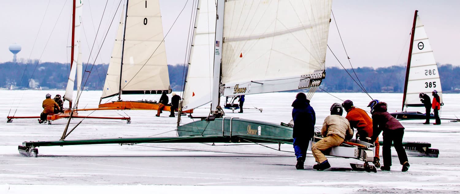
Our friends on Maumee Bay, the great Toledo Ice Yacht Club, managed to herd their fleets together for a wonderful photo opportunity over the weekend. Thanks to Ken Sabin for the photo!
Like this:
Like Loading...
by Deb Whitehorse | Jan 8, 2018 | 2017-2018, Home Page

Not quite Hollywood.
If you are wondering what the ice conditions are on Lake Winnebago, Andy Gratton sends the not so good news. Someone told me last week that Winnebago looked like “Armageddon ice” and it’s easy to see why. But, as we know, ice is always changing so maybe Winnebago will come in for some good spring sailing.
Via Andy Gratton: This area was about 10 acres of 2′ to 3′ tall chunks like this. There are many areas on Winnebago that look like this. I would call ice in this photo a zero, maybe even a negative number. It’s a rough ride even when the chunks are only 4″ tall.
Like this:
Like Loading...
by Deb Whitehorse | Jan 8, 2018 | Home Page, Renegade

Via IRIYRA Secretary Ron Rosten, the 2018 Renegade Championship regatta has been postponed. Please check back on Sunday, January 14 for the next update.
Like this:
Like Loading...
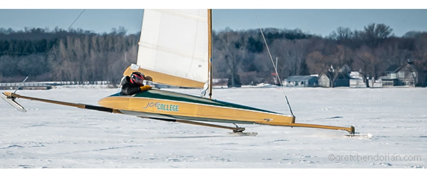
by Deb Whitehorse | Jan 7, 2018 | 2017-2018, Home Page, ISA

Photo: Gretchen Dorian
The International Skeeter Association Regatta has been postponed until January 19-21, 2018. Next update is Sunday, January 14, 2018.
Like this:
Like Loading...
by Deb Whitehorse | Jan 7, 2018 | 2017-2018, Home Page

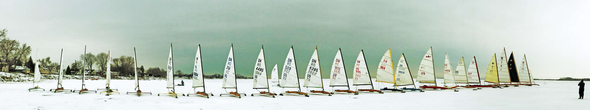
Like Charlie Brown waiting for the Great Pumpkin, iceboaters wait for the Great Zamboni, a rainy weather system that makes the snow disappear off the ice followed by cold that freezes the track. Keep your eyes on Thursday’s weather system because there’s a possibility that Wisconsin could have an abundance of sailable ice.
Where are they sailing this weekend?
Green Lake, WI, Lake St. Clair near Detroit, Michigan, and Ashumet Pond in Mashpee, MA on Cape Cod
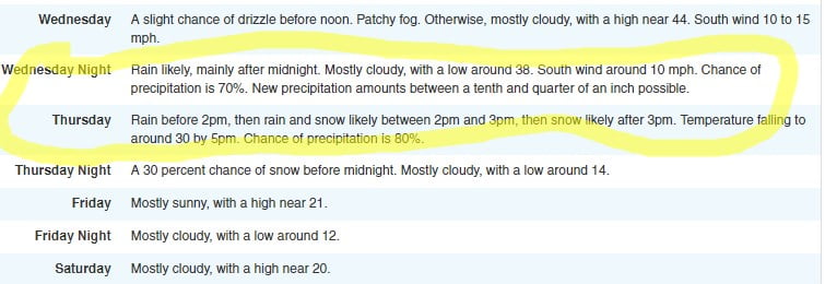
From NOAA’s Forecast Discussion: for southern Wisconsin:
The models do show low pressure sliding northeast across Wisconsin
either later Wednesday night or Thursday. The GFS is quicker and
further south with the low track than the ECMWF. Both models do
bring the warm sector into at least southeast Wisconsin during
this period. Thus, it looks like good chances for mainly rain
later Wednesday night into Thursday morning, before cold air
advection brings a transition to light snow southeast across the
area Thursday afternoon into the evening.
This may change, depending on where the low tracks, and would
affect the precipitation types as well. This may have some impact
on travel in northern and western Wisconsin, and perhaps here if
the low track shifts to the south. Cold air advection behind the
low would then bring colder temperatures back into the region for
Friday into Saturday.
Like this:
Like Loading...