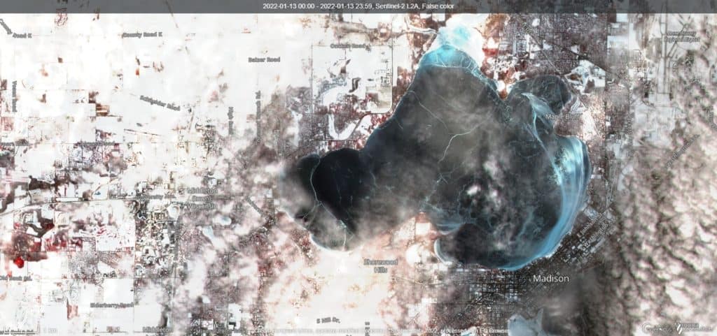
Lake Mendota before the snow, on January 13, 2022
At-home ice checking often begins with a look at MODIS satellite data. “With its sweeping 2,330-km-wide viewing swath, MODIS sees every point on our world every 1-2 days…”
SENTINEL-2 is another satellite that surveys the earth every five days at the equator and every 2-3 days at middle latitudes. SENTINEL-2 is “equipped with an opto-electronic multispectral sensor for surveying with a sentinel-2 resolution of 10 to 60 m in the visible, near infrared (VNIR), and short-wave infrared (SWIR) spectral zones, including 13 spectral channels, which ensures the capture…”
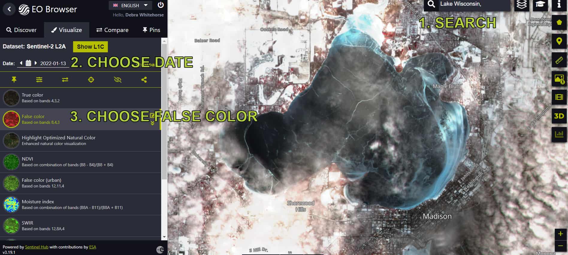
SENTINEL-2 takes a few more steps than looking at MODIS but the views are well worth the effort.
Register for an account, and you can download the views.
- Make sure you are looking at SENTINEL-2
- Search
- Choose the date on the calendar.
- Choose false color for the best ice view.